Maps
Station Locations
The files and maps on this page are designed to assist in location of the stations where samples are collected from.
PowerPoint of Various Maps of the Bay Region
Map (ppt ) (7.4 Mb)
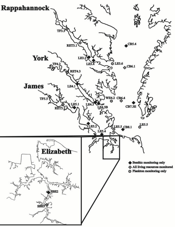
Benthic Stations
Fixed Stations
1985-Present (xls)(jpg1)(jpg2)
Random Stations
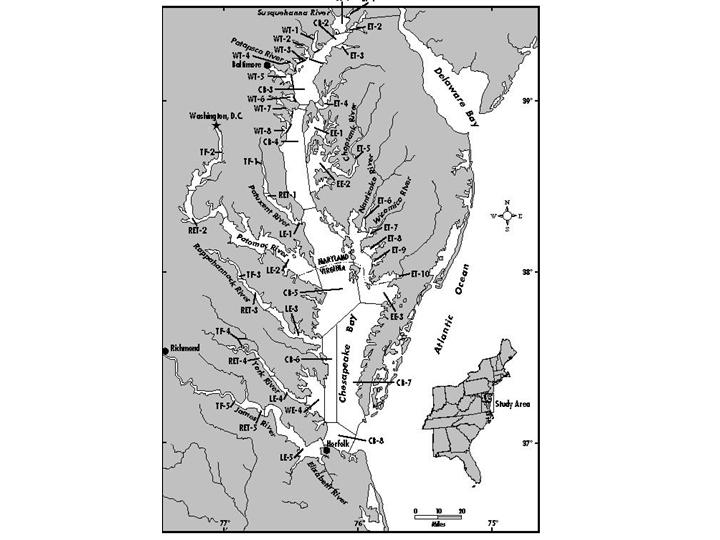
Plankton Stations
- Station Map (jpg)
- Station Coordinates (xls)
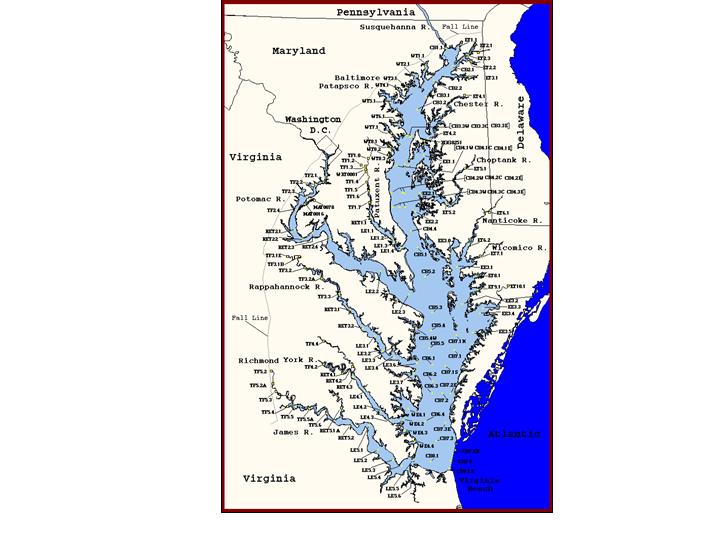
Water Quality Stations
- Map (jpg)
- Bay Stations (xls)
- Elizabeth River Stations (xls)